

West Contra Costa Transportation Commission
Richmond Parkway Transit Plan — Appendix B: Regional influence
How the corridor sits within the wider regional transport network.
Appendix · Final · 2025 · 1 figures · about 4 min to read
How the corridor sits within the wider regional transport network.
Current — In force. This is the version to rely on. The adopted final version.
Appendix B:
Overview of Regional Influence
Appendix B: Overview of Regional Influence | 117
RICHMOND PARKWAY TRANSPORTATION PLAN Appendix B
Overview of Regional Influence
Richmond Parkway is an important transportation corridor in the San Francisco Bay Area with state and national significance for commerce. The Parkway facilitates access to the Port of Richmond, railroads, distribution centers, and a multitude of other regional utilities, establishing physical connections that enable services well beyond the local area.
Key Connection Enabling Regional Economic Hubs and Services
The Parkway links parts of Richmond to I-580, I-80, and the Richmond-San Rafael Bridge, providing crucial access to regional destinations such as San Francisco, San Rafael, Oakland, North Richmond, unincorporated Contra Costa County, and other parts of the East Bay.
Richmond Parkway provides direct access to the Port of Richmond and regional-serving warehouse distribution centers, facilitating regional trade. The Port of Richmond ranks #1 in liquid bulk and automobile tonnage among the five ports on San Francisco Bay, and in 2019 alone, trade totaled $9.51 billion for the five city-owned terminals and ten privately-owned terminals.1 The Port is also served by the two largest transcontinental railroads, BNSF Railway and Union Pacific, which hold a duopoly on freight rail lines in the Western, Midwestern and West South Central United States.
Other major employment hubs and industrial sites that draw workers from throughout the region and are accessed via Richmond Parkway include the following:
- Richmond Chevron Refinery;
- UPS and Amazon distribution centers near Point Pinole;
- Landfill and recycling yards, which serve the region;
- Hazardous waste disposal plants;
- Water reclaim plants;
- West County Wastewater in North Richmond;
- Tow yards and tire recycling centers;
- Iron manufacturers;
- Building materials distribution centers;
- Large-scale construction equipment rental centers; and
- Future developments, including over
1.2 million square feet of manufacturing and warehouse space and 537,000 square feet of office space. As a transportation backbone for these sites and services, Richmond Parkway supports significant vehicle and truck traffic that serves not only the local area but the entire region, state, and country. The Parkway carries between 19,000 and 37,000 vehicles every weekday, with 7% being truck traffic along the corridor. Truck volumes along the southern segments of Richmond Parkway and Castro Street range between 5%-13% of total daily vehicle volumes while truck volumes on San Pablo Avenue, a comparable
- California Association of Port Authorities, 2024, https://californiaports.org/ports/port-of-richmond/.
Original PDF, page 3
arterial, range between 2%-3% in Contra Costa County.2 Truck traffic causes significant wear to the road that requires consistent proactive maintenance for pavement upkeep.
Despite the corridor’s wide-reaching importance, maintenance responsibilities fall solely on the City and County. The constant flow of heavy trucks accelerates wear and tear on the roadway, yet current maintenance funding is insufficient to keep it at an appropriate level of care. Without additional support, the City and County face challenges in meeting the maintenance needs to ensure the Parkway remains reliable and safe for its users.
Originally intended to be constructed as a Caltrans facility, the Parkway was developed by local officials when the state did not implement it. However, a lack of funds and the urgency to build the Parkway sooner rather than later has resulted in a facility that would require hundreds of millions of dollars to bring to a condition required for Caltrans to adopt into its network.
Regional Multimodal Access and Public Health Effects
Walking and Biking
The Bay Trail, a 360 mile-long bicycle and pedestrian trail that travels along the shoreline of San Francisco Bay, partially travels along Richmond Parkway. The corridor connects to the Richmond-San Rafael (I-580) Bridge path, the Richmond Greenway, and major recreational destinations, including Point Richmond, Point Pinole Regional Shoreline, and Wildcat Canyon Regional Park. Existing limited and poor east-west access points should be enhanced to allow residents in and around the Parkway better access to the Bay Trail and regional recreational facilities.
Transit
Richmond Parkway provides a direct connection to the Richmond Parkway Transit Center and 11 transit routes stop on the corridor. This access to public transit enhances mobility for individuals without cars, as 9% of households near the study corridor do not own vehicles. Additionally, express bus service to job centers along the corridor significantly improves access to employment opportunities for low-income residents and Equity Priority Communities. Furthermore, the Parkway facilitates access to the Richmond Ferry and BART, further connecting residents to vital regional transportation options and enhancing overall mobility in the area.
Regional Public Health Effects
Given the industrial and goods movement uses along Richmond Parkway, diesel PM concentrations near the corridor range from 0.08 to 0.98 tons per year. This is greater than 78% of communities statewide. Exposure to emissions contributes to public health issues, including asthma, cardiovascular disease, cancer, and low birth weight.3 The negative health impacts of these emissions is exacerbated when trucks avoid using the Parkway; the lack of timed signals push trucks to take “cut through” shortcuts through local neighborhoods for more efficient routes. Coordinating signals along the Parkway would dissuade this behavior as well as reduce unsafe speeding rooted in driver frustrations with signals, improving health and safety for the region.
- California Office of Health Hazard Assessment, 2021.
- Caltrans Traffic Census Program, AADT Truck Volumes, 2022.
Appendix B: Overview of Regional Influence | 119
Original PDF, page 4
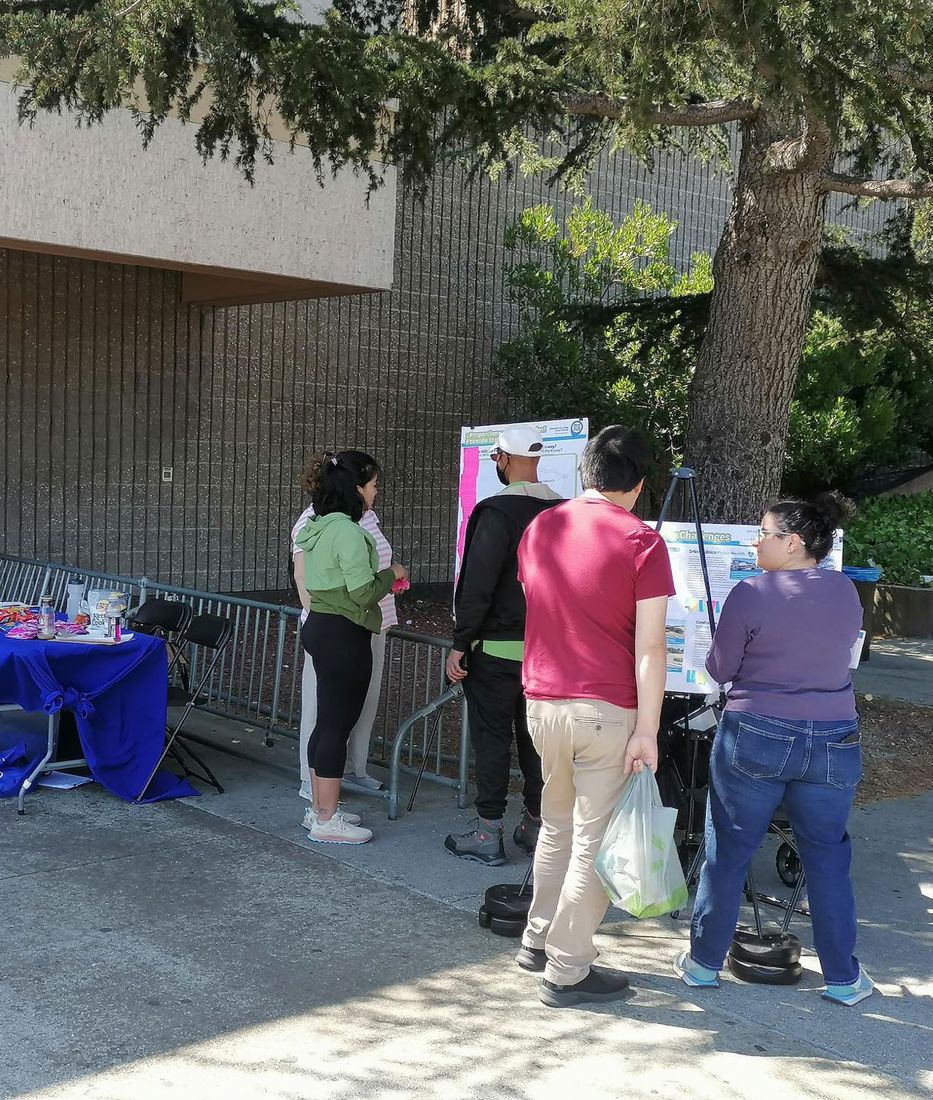
RICHMOND PARKWAY TRANSPORTATION PLAN Photo of pop-up event during Phase 1 of engagement in the Hilltop neighborhood.
In the same set
The original file
Everything above is the content of the original document, published here as a web page so it can be read, searched, translated and used with a screen reader. The original PDF is kept as the authoritative record.